Description
Prime logistics / industrial development opportunity
Phase 1 comprises three plots of land & extends to a gross area of 168 acres
Land - Development
Former Ferrybridge Power Station, Kirkhaw Lane, Knottingley
WF11 8DX
Size 8 to 168 Acres
Agent details

+44 (0)113 887 0790
Facilities services

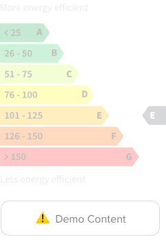
Energy rating
Location and Transport
The site is strategically positioned at the intersection of the M62, the primary trans-Pennine route, and the A1(M) and is also a short distance from the M1, the two main north-south routes on the eastern side of the UK. Junction 33 of the M62 motorway is circa 0.5 miles to the south.
The site is bordered by the settlements of Ferrybridge and Brotherton while the towns of Castleford, Pontefract and Knottingley are all within a 3 mile radius. The River Aire runs along the eastern boundary of the site while the A1(M) is immediately to the west and north.
Access to the site is from the B6136 Stranglands Lane, and it is connected to Junction 33 of the M62 by the A162 Great North Road, which constitutes the former A1 route.
There is a workforce of c.1.24 million people within a 30 minute drive time, of which approximately 927,000 are economically active and 70,000 are unemployed. It is possible to reach 76% of the population of Great Britain by HGV from the site in a 4.5 hour drive time.
More like this